LiDAR Ground Control Targets: Placement, Accuracy, and Best Practices
By Adam
39 Views
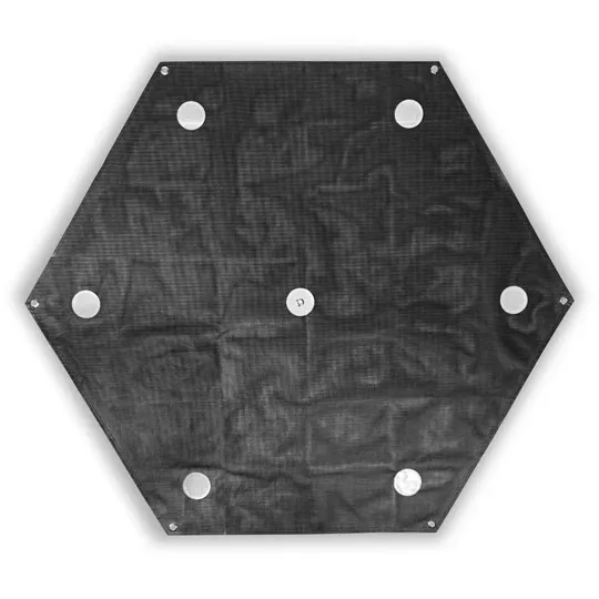
LiDAR mapping can capture highly detailed elevation and surface data, but the final dataset's quality still depends on how well the survey is controlled on the ground. LiDAR ground control targets provide known reference points that help survey teams verify positioning, align datasets, and improve confidence in the final deliverables.
Their value becomes especially clear on projects where precise coordinates matter, such as topographic surveys, construction sites, infrastructure corridors, mining areas, and engineering projects. Choosing the right target is only part of the process. Placement, visibility, survey method, and validation all affect how useful those targets will be.
What Are Ground Control Targets in LiDAR Surveying?
Ground control targets are clearly identifiable locations placed or selected within a survey area and measured with accurate survey equipment. Their coordinates are known independently of the LiDAR system.
Depending on the project, these points may be used to:
-
Help align airborne data with real-world coordinates
-
Check horizontal and vertical accuracy
-
Support quality control
-
Compare datasets collected at different times
-
Confirm that the final point cloud meets project specifications
The exact role of the targets depends on the LiDAR platform, processing workflow, and required level of accuracy.
Why Ground Control Matters for LiDAR Accuracy
LiDAR systems combine laser measurements with positioning data from GNSS and inertial measurement units. Modern systems can be extremely accurate, but several factors can introduce small errors.
These may include:
-
GNSS signal quality
-
IMU drift
-
Flight altitude
-
Sensor calibration
-
Terrain changes
-
Poor satellite geometry
-
Data alignment issues
Ground control gives survey teams an independent reference to compare with the collected LiDAR data.
Horizontal Accuracy
Horizontal accuracy refers to how closely mapped features match their actual position on the ground.
This is important for projects involving:
-
Property lines
-
Roadways
-
Utilities
-
Site plans
-
Engineering layouts
Well-surveyed reference points can help identify shifts or alignment issues in the dataset.
Vertical Accuracy
Vertical accuracy matters in LiDAR because many projects depend on reliable elevation data.
Small vertical errors can affect:
-
Contour generation
-
Drainage analysis
-
Earthwork quantities
-
Flood modeling
-
Surface comparisons
Ground checks at known elevations help confirm whether the point cloud is representing the terrain correctly.
How to Choose the Right Target
A good target must be easy to detect in the data and suitable for the survey environment.
Size and Visibility
Target size should match the survey altitude, sensor resolution, and expected point density.
A target that is too small may not receive enough laser returns to be identified clearly. Larger targets are generally easier to detect when surveys are flown from higher altitudes or when point density is lower.
Contrast
High visual contrast helps when LiDAR data is combined with aerial imagery.
Black-and-white or other high-contrast patterns can make targets easier to identify in orthophotos, which helps during cross-checking and processing.
Durability
Targets used outdoors should be able to handle:
-
Wind
-
Moisture
-
Sun exposure
-
Vehicle traffic
-
Uneven surfaces
Reusable survey targets can be useful for long-duration projects where the same control network is used across multiple flights.
Where Should LiDAR Targets Be Placed?
Placement is one of the most important parts of the process.
Distribute targets across the project rather than grouping them in one area.
A balanced layout helps survey teams assess whether accuracy is consistent throughout the site.
Perimeter Placement
Placing reference points near the edges of the project area helps control the dataset's outer limits.
This can be particularly useful on large sites where errors may increase farther from the center of the survey.
Interior Placement
Targets should also be placed within the site interior.
Interior points help validate the central portion of the dataset and reduce the chance of relying only on perimeter control.
Elevation Changes
If the project includes hills, slopes, embankments, or deep cuts, control points should represent different elevations.
Using all reference points on a flat section of the site may not provide enough information about vertical accuracy across changing terrain.
How Many Ground Control Points Are Needed?
No single number works for every LiDAR project.
The required number depends on:
-
Survey area
-
Terrain complexity
-
Accuracy specifications
-
Flight pattern
-
Sensor quality
-
Coordinate system
-
Project standards
A small, flat site may need only a few reference points, while a long corridor or large construction site may need more.
The goal is not to place as many targets as possible. The goal is to create a well-distributed network that provides meaningful verification.
Ground Control Points vs Checkpoints
Ground control points and checkpoints are often discussed together, but they serve different purposes.
Ground Control Points
You may use these during processing to help align or adjust the dataset.
Checkpoints
Checkpoints are measured independently and reserved for accuracy testing.
They are not used to improve the model itself.
This distinction is important because checkpoints provide a more objective way to determine whether the final LiDAR data meets accuracy requirements.
For many professional surveys, using both control and independent validation points provides a stronger quality-control process.
Best Practices for Surveying Control Targets
The target is only as useful as the coordinate assigned to it.
Survey teams should use appropriate equipment and field procedures when measuring control locations.
Common methods include:
-
RTK GNSS
-
PPK GNSS
-
Total stations
-
Static GNSS observations
Match the Coordinate System
One of the most common survey errors is a coordinate system mismatch.
Before processing begins, confirm that:
-
Ground control coordinates
-
LiDAR positioning data
-
Project files
-
GIS layers
all use the intended horizontal and vertical reference systems.
A coordinate system mismatch can create errors that appear much larger than the actual sensor error.
Keep Accurate Field Records
Each point should have clear documentation.
Useful records include:
-
Point ID
-
Coordinates
-
Elevation
-
Target type
-
Installation date
-
Photos
-
Notes about nearby obstructions
Good documentation reduces confusion during processing and makes repeat surveys easier.
Common Placement Mistakes
Several avoidable mistakes can reduce the usefulness of ground control.
Clustering Targets Together
Putting many targets in one corner does not provide strong control for the rest of the site.
Spread them across the survey area.
Placing Targets Near Obstructions
Trees, vehicles, buildings, and tall vegetation can block laser returns or make targets hard to identify.
Choose open areas whenever possible.
Using Targets That Are Too Small
If the target does not produce enough returns, it may be difficult to distinguish from surrounding surfaces.
Ignoring Terrain Variation
A control network should reflect the site's shape, not just its footprint.
Represent elevation differences when vertical accuracy matters.
When Are LiDAR Ground Control Targets Most Valuable?
Ground control becomes especially important when the dataset will be used for:
-
Engineering design
-
Construction verification
-
Topographic mapping
-
Volume calculations
-
Flood studies
-
Infrastructure planning
-
Corridor surveys
-
Long-term monitoring
Projects with strict accuracy requirements benefit the most from a strong control and checkpoint strategy.
Final Thoughts
Reliable LiDAR mapping depends on more than a high-quality sensor. Ground reference data provides an important verification layer that helps survey teams assess how closely the final point cloud matches real-world coordinates.
The best results come from using clearly visible targets, measuring them accurately, and distributing them across the full project area. Terrain, elevation changes, sensor performance, and survey objectives should all influence the control layout.
When LiDAR ground control targets are combined with independent checkpoints, accurate field measurements, and consistent coordinate systems, they provide a practical way to improve quality control and produce more dependable mapping data.